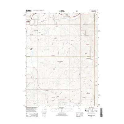
2015 Map of Martis Peak
USGS Topo · Published 2015About this map
The Truckee River and the Union Pacific rail line cut through the northern Sierra Nevada landscape in this 2015 study of the region north of Lake Tahoe. This high-altitude terrain is defined by a series of meadows and peaks, ranging from Buck Meadows to the prominent Martis Peak at the center of the sheet. The map documents the interface between protected lands in the Tahoe National Forest and Toiyabe National Forest, and the developing residential footprints of Kingswood Estates. Local history is preserved in the names of the older settlement sites at Union Mills and Hirschdale, which sit near the historic Old State Rte 40. The hydrography of the area is complex, featuring the controlled waters of Martis Cr Lake and numerous drainages like Middle Martis Cr and Griff Cr that feed the river system.
Find a feature on this map
87 named features on this map. Tap any name to fly to it.
Don’t see what you’re looking for? This feature index may not catch every label — zoom into the map to look around manually.
Map Details
Editions of this 2015 Martis Peak Map
This is the sole edition of this map. No revisions or reprints were ever made.
Other maps of this area

1891 · Carson
USGS Topo · 1:125,000

1891 · Truckee
USGS Topo · 1:125,000

1893 · Carson
USGS Topo · 1:125,000

1893 · Truckee
USGS Topo · 1:125,000

1895 · Truckee
USGS Topo · 1:125,000

1932 · Truckee
USGS Topo · 1:96,000

1940 · Truckee
USGS Topo · 1:125,000

1950 · Mt. Rose
USGS Topo · 1:62,500

1952 · Mt. Rose
USGS Topo · 1:62,500

1955 · Truckee
USGS Topo · 1:24,000