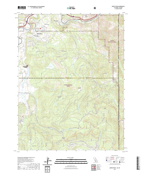
2021 Map of Martis Peak
USGS Topo · Published 2021About this map
The Truckee River carves through the Truckee Canyon in this study of the Sierra Nevada's eastern slopes, where the town of Truckee sits as a central hub. The landscape is defined by the transition from the high peaks of the Carson Range, including Martis Peak and Mt Baldy, down into the broad meadowlands of Martis Valley and Buck Meadows. This 2021 survey illustrates a sophisticated network of residential development in the northern reaches, with streets like Berkshire Cir and Cavalier Rise contrasted against the vast managed wildlands of the Tahoe National Forest and Toiyabe National Forest. Historically significant points like Union Mills and Hirschdale underscore the area's timber and transit roots, while Brockway Summit marks the critical passage toward the Tahoe basin. The map reveals how the modern wildland-urban interface is structured around ancient drainage systems like Martis Cr and Middle Martis Cr.
Find a feature on this map
107 named features on this map. Tap any name to fly to it.
Don’t see what you’re looking for? This feature index may not catch every label — zoom into the map to look around manually.
Map Details
Editions of this 2021 Martis Peak Map
This is the sole edition of this map. No revisions or reprints were ever made.
Other maps of this area

1891 · Carson
USGS Topo · 1:125,000

1891 · Truckee
USGS Topo · 1:125,000

1893 · Carson
USGS Topo · 1:125,000

1893 · Truckee
USGS Topo · 1:125,000

1895 · Truckee
USGS Topo · 1:125,000

1932 · Truckee
USGS Topo · 1:96,000

1940 · Truckee
USGS Topo · 1:125,000

1950 · Mt. Rose
USGS Topo · 1:62,500

1952 · Mt. Rose
USGS Topo · 1:62,500

1955 · Truckee
USGS Topo · 1:24,000