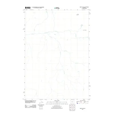
2012 Map of Mary Lake
USGS Topo · Published 2012About this map
Mary Lake sits near the high elevations of the Central Plateau, surrounded by a complex network of drainage systems in this 2012 study. The landscape is defined by the headwaters of several prominent waterways, including Nez Perce Cr and the winding course of Spruce Cr. To the north, Mary Mountain stands as a significant landmark overlooking the basin where Cowan Cr and Magpie Cr originate. The hydrology of the area is further characterized by the southward-flowing Juniper Cr and White Cr, illustrating the rugged and undeveloped nature of this Park County terrain. This map provides a detailed record of the high-altitude water systems and physical geography as they existed in the early 21st century.
Find a feature on this map
9 named features on this map. Tap any name to fly to it.
Don’t see what you’re looking for? This feature index may not catch every label — zoom into the map to look around manually.
Map Details
Editions of this 2012 Mary Lake Map
This is the sole edition of this map. No revisions or reprints were ever made.
Other maps of this area

1885 · Gallatin
USGS Topo · 1:125,000

1885 · Gallatin
USGS Topo · 1:125,000

1886 · Shoshone
USGS Topo · 1:125,000

1888 · Shoshone
USGS Topo · 1:125,000

1895 · Shoshone
USGS Topo · 1:125,000

1901 · Shoshone
USGS Topo · 1:125,000

1901 · Gallatin
USGS Topo · 1:125,000

1908 · Gallatin
USGS Topo · 1:125,000

1908 · Shoshone
USGS Topo · 1:125,000

1911 · Shoshone
USGS Topo · 1:125,000