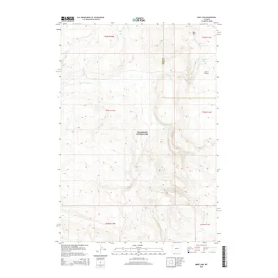
2015 Map of Mary Lake
USGS Topo · Published 2015About this map
Mary Lake sits high on the Central Plateau within the interior of Yellowstone National Park, surrounded by a network of pristine alpine drainage systems. This 2015 survey reveals a landscape dominated by the rise of Mary Mtn and the intricate headwaters of several notable creeks. The topography is defined by the thermal and volcanic history of the region, where water moves through the high-elevation basin via Nez Perce Cr and Spruce Cr. Other water features like Magpie Cr and Cowan Cr carve through the plateau, while the boundary between Teton and Park Counties passes through the western portion of the map. This map is an essential reference for understanding the hydrological patterns of the park's central wilderness before they converge into the larger river systems of the Wyoming high country.
Find a feature on this map
17 named features on this map. Tap any name to fly to it.
Don’t see what you’re looking for? This feature index may not catch every label — zoom into the map to look around manually.
Map Details
Editions of this 2015 Mary Lake Map
This is the sole edition of this map. No revisions or reprints were ever made.
Other maps of this area

1885 · Gallatin
USGS Topo · 1:125,000

1885 · Gallatin
USGS Topo · 1:125,000

1886 · Shoshone
USGS Topo · 1:125,000

1888 · Shoshone
USGS Topo · 1:125,000

1895 · Shoshone
USGS Topo · 1:125,000

1901 · Shoshone
USGS Topo · 1:125,000

1901 · Gallatin
USGS Topo · 1:125,000

1908 · Gallatin
USGS Topo · 1:125,000

1908 · Shoshone
USGS Topo · 1:125,000

1911 · Shoshone
USGS Topo · 1:125,000