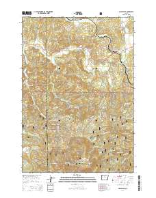
2014 Map of Marys Peak
USGS Topo · Published 2014About this map
Marys Peak serves as the prominent high point in this section of the Oregon Coast Range, marking a landscape defined by the drainage systems of the Marys River and the Tumtum River. Small communities and historic gathering points like Blodgett, Summit, Alder, and Burnt Woods are connected by the Corvallis-Newport Hwy, reflecting the region's enduring timber and transport routes. The division between Lincoln and Benton counties runs through these ridges, which are largely protected within the Siuslaw National Forest.
Find a feature on this map
58 named features on this map. Tap any name to fly to it.
Don’t see what you’re looking for? This feature index may not catch every label — zoom into the map to look around manually.
Map Details
Editions of this 2014 Marys Peak Map
This is the sole edition of this map. No revisions or reprints were ever made.
Other maps of this area

1921 · Corvallis
USGS Topo · 1:62,500

1922 · Monroe
USGS Topo · 1:62,500

1939 · Marys Peak
USGS Topo · 1:62,500

1939 · Monroe
USGS Topo · 1:62,500

1942 · Marys Peak
USGS Topo · 1:62,500

1942 · Alsea
USGS Topo · 1:62,500

1942 · Monroe
USGS Topo · 1:62,500

1942 · Corvallis
USGS Topo · 1:62,500

1953 · Salem
USGS Topo · 1:250,000

1954 · Salem
USGS Topo · 1:250,000