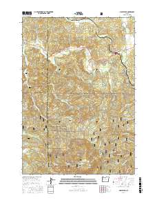
2017 Map of Marys Peak
USGS Topo · Published 2017About this map
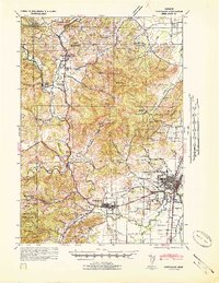
Marys Peak serves as the focal point for this section of the Oregon Coast Range, where the drainage divide separates the waters of the Marys River and Tumtum River from those flowing toward the coast via Big Elk Cr. The landscape is dominated by the sprawling Siuslaw National Forest, characterized by steep ridges like Shroyer Ridge and Chinquapin Ridge. Small settlements such as Blodgett, Summit, and Burnt Woods are concentrated along the highway and rail corridors in the north, while the southern reaches are largely defined by a dense network of forest roads including Woods Creek Rd and Marys Peak Rd. This 2017 survey reveals the quiet persistence of early pioneer history through the presence of the Mulkey Cem and Davidson Cem, which remain as markers of late 19th-century land claims in an area now primarily managed for timber and recreation.
Find a feature on this map
55 named features on this map. Tap any name to fly to it.
Don’t see what you’re looking for? This feature index may not catch every label — zoom into the map to look around manually.
Map Details
Editions of this 2017 Marys Peak Map
This is the sole edition of this map. No revisions or reprints were ever made.
Other maps of this area
1921 · Corvallis
USGS Topo · 1:62,500
1922 · Monroe
USGS Topo · 1:62,500
1939 · Marys Peak
USGS Topo · 1:62,500
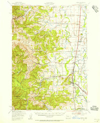
1939 · Monroe
USGS Topo · 1:62,500
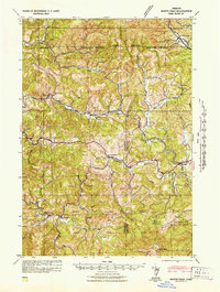
1942 · Marys Peak
USGS Topo · 1:62,500
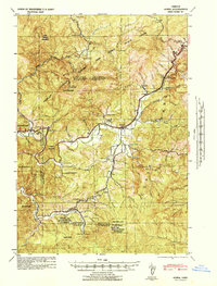
1942 · Alsea
USGS Topo · 1:62,500
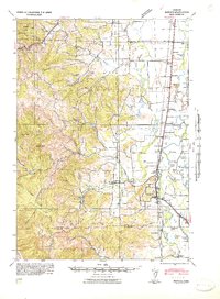
1942 · Monroe
USGS Topo · 1:62,500
1942 · Corvallis
USGS Topo · 1:62,500

1953 · Salem
USGS Topo · 1:250,000

1954 · Salem
USGS Topo · 1:250,000