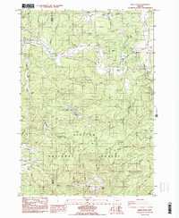
1984 Map of Marys Peak
USGS Topo · Published 1984About this map
Marys Peak towers over this section of the Oregon Coast Range, anchoring a landscape where timber resources and municipal water management intersect. The Siuslaw National Forest covers much of the southern terrain, including the City of Corvallis Municipal Watershed, a critical conservation zone for local water supply. In the lowlands, the Southern Pacific railroad line tracks through the settlement of Blodgett, where the Blodgett Sch served the rural community.
Find a feature on this map
49 named features on this map. Tap any name to fly to it.
Don’t see what you’re looking for? This feature index may not catch every label — zoom into the map to look around manually.
Map Details
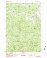
Editions of this 1984 Marys Peak Map
2 editions found
Other maps of this area

1921 · Corvallis
USGS Topo · 1:62,500

1922 · Monroe
USGS Topo · 1:62,500

1939 · Marys Peak
USGS Topo · 1:62,500

1939 · Monroe
USGS Topo · 1:62,500

1942 · Marys Peak
USGS Topo · 1:62,500

1942 · Alsea
USGS Topo · 1:62,500

1942 · Monroe
USGS Topo · 1:62,500

1942 · Corvallis
USGS Topo · 1:62,500

1953 · Salem
USGS Topo · 1:250,000

1954 · Salem
USGS Topo · 1:250,000