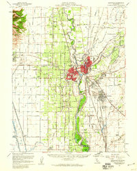
1952 Map of Marysville
USGS Topo · Published 1959About this map
Yuba City and Marysville anchor this 1952 topographic study, showing the twin cities at a time of significant post-war agricultural and infrastructural development. The landscape is defined by the convergence of the Feather River and the Yuba River, where complex levee systems and bypasses like the Sutter Bypass manage the volatile hydrology of the Sacramento Valley. The map captures the agricultural density of the region, marked by numerous pumping stations, irrigation canals such as the Live Oak Canal, and small labor centers like the Yuba City Farm Labor Center.
Find a feature on this map
114 named features on this map. Tap any name to fly to it.
Don’t see what you’re looking for? This feature index may not catch every label — zoom into the map to look around manually.
Map Details
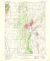
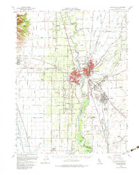
Editions of this 1952 Marysville Map
3 editions found
Other maps of this area

1888 · Marysville
USGS Topo · 1:125,000

1888 · Smartsville
USGS Topo · 1:125,000

1891 · Sacramento
USGS Topo · 1:125,000

1891 · Marysville
USGS Topo · 1:125,000

1891 · Smartsville
USGS Topo · 1:125,000

1892 · Sacramento
USGS Topo · 1:125,000

1892 · Smartsville
USGS Topo · 1:125,000

1893 · Sacramento
USGS Topo · 1:125,000

1894 · Smartsville
USGS Topo · 1:125,000

1894 · Marysville
USGS Topo · 1:125,000