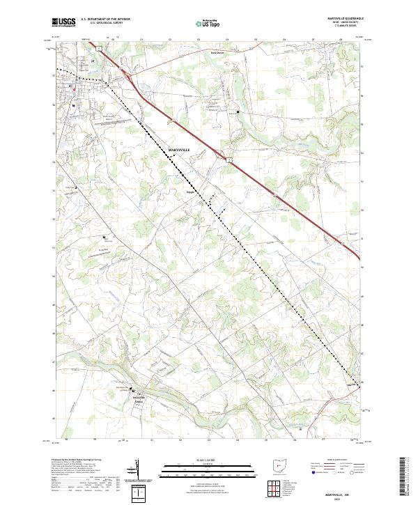
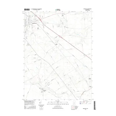
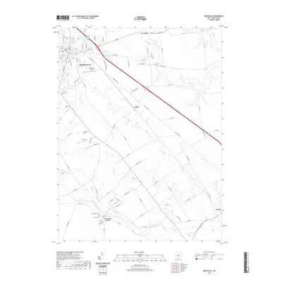
2023 Map of Marysville
USGS Topo · Published 2023About this map
The Union County Courthouse stands as the central landmark of Marysville in this contemporary record of Union County's seat and surrounding rural townships. The landscape is defined by the winding course of Big Darby Creek and Mill Creek, where residential growth from the city core meets agricultural expanses. Transportation patterns are anchored by the Union County Airport and a network of county highways that connect outlying settlements like Unionville Center, New Dover, and Arnold. Genealogists will find significant detail in the numerous burial grounds documented across the quadrangle, including Old Darby Cem, New Darby Cem, and Saint Johns Cem. The map also captures specialized landmarks such as Fairbanks Spring and the FL-Airfield, reflecting the mix of historic water sources and modern aviation infrastructure that characterizes this part of central Ohio.
Find a feature on this map
100 named features on this map. Tap any name to fly to it.
Don’t see what you’re looking for? This feature index may not catch every label — zoom into the map to look around manually.
Map Details
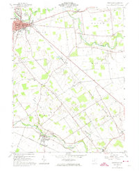
Editions of this 2023 Marysville Map
This is the sole edition of this map. No revisions or reprints were ever made.
Historical Maps of Marysville Through Time
6 maps found
Featured Locations
- Jerome Township, OH
- Marysville, OH
- Paris Township, OH
- Darby Township, OH
- Unionville Center, Darby Township