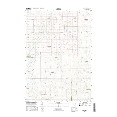
2015 Map of Marytown
USGS Topo · Published 2015About this map
Marytown stands as the central hub of this agricultural landscape in eastern Wisconsin, situated near the intersection of several county roads. The settlement is anchored by local history, most notably evidenced by the Saint Marys Cem located south of the village center and the Saint Charles Cem further north along St Charles Rd. The surrounding terrain is defined by the drainage patterns of the South Branch Manitowoc River, which meanders through the western and northern sections of the survey. A rigid grid of rural thoroughfares such as Kiel Rd, Weber Rd, and Sippel Rd connects the scattered farmsteads, following the established Public Land Survey System lines. This survey captures the enduring rural character of the borderlands where Calumet, Fond du Lac, and Sheboygan counties meet, preserving the names of the small communities and family-named roads that shaped the region's development.
Find a feature on this map
47 named features on this map. Tap any name to fly to it.
Don’t see what you’re looking for? This feature index may not catch every label — zoom into the map to look around manually.
Map Details
Editions of this 2015 Marytown Map
This is the sole edition of this map. No revisions or reprints were ever made.
Other maps of this area

1910 · Fond du Lac
USGS Topo · 1:62,500

1911 · Neenah
USGS Topo · 1:62,500

1954 · Chilton
USGS Topo · 1:62,500

1954 · Kiel
USGS Topo · 1:62,500

1955 · Neenah
USGS Topo · 1:62,500

1955 · Fond Du Lac
USGS Topo · 1:62,500

1955 · Green Bay
USGS Topo · 1:250,000

1957 · Madison
USGS Topo · 1:250,000

1960 · Madison
USGS Topo · 1:250,000

1974 · St. Cloud
USGS Topo · 1:24,000