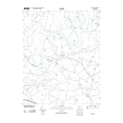
2010 Map of Mascot
USGS Topo · Published 2010About this map
The Holston River winds through this landscape, defining a series of dramatic curves such as Big Bend, Lower Bend, and Byerley Bend. The waterway is punctuated by numerous islands and shoals, including McKinney Islands, Snaggy Island, and Cobbs Shoals, reflecting the river's historical importance for navigation and local industry. The map captures the industrial character of the area around the Mascot Mine and the Mascot Post Office, while the surrounding terrain is marked by prominent elevations like Bays Mountain and Roderick Mountain.
Find a feature on this map
149 named features on this map. Tap any name to fly to it.
Don’t see what you’re looking for? This feature index may not catch every label — zoom into the map to look around manually.
Map Details
Editions of this 2010 Mascot Map
This is the sole edition of this map. No revisions or reprints were ever made.
Other maps of this area

1886 · Knoxville
USGS Topo · 1:125,000

1892 · Knoxville
USGS Topo · 1:125,000

1894 · Knoxville
USGS Topo · 1:125,000

1895 · Knoxville
USGS Topo · 1:125,000

1897 · Maynardville
USGS Topo · 1:125,000

1900 · Maynardville
USGS Topo · 1:125,000

1901 · Knoxville
USGS Topo · 1:125,000

1935 · Luttrell
USGS Topo · 1:24,000

1935 · Mascot
USGS Topo · 1:24,000

1935 · Knoxville
USGS Topo · 1:48,000