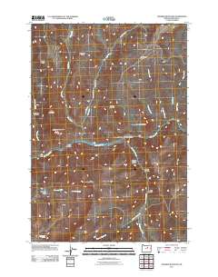
2011 Map of Masiker Mountain
USGS Topo · Published 2011About this map
The John Day River carves a deep valley through this Wheeler County landscape, serving as the primary hydrological artery for a series of canyons and ridges. In this 2011 survey, the terrain is defined by dramatic elevation changes, notably at Masiker Mountain and the curiously named Hoogie Doogie Mountain. The drainage patterns are highly localized, with Lake Creek and Alder Creek feeding the river from the north, while the southern reach is dominated by the Donnelly Basin and the headwaters of Dippen Rig Creek.
Find a feature on this map
29 named features on this map. Tap any name to fly to it.
Don’t see what you’re looking for? This feature index may not catch every label — zoom into the map to look around manually.
Map Details
Editions of this 2011 Masiker Mountain Map
This is the sole edition of this map. No revisions or reprints were ever made.
Other maps of this area

1926 · Mitchell
USGS Topo · 1:125,000

1953 · Richmond
USGS Topo · 1:62,500

1953 · Spray
USGS Topo · 1:62,500

1955 · Bend
USGS Topo · 1:250,000

1955 · Canyon City
USGS Topo · 1:250,000

1957 · Bend
USGS Topo · 1:250,000

1958 · Bend
USGS Topo · 1:250,000

1959 · Canyon City
USGS Topo · 1:250,000

1966 · Mitchell
USGS Topo · 1:62,500

1966 · Kinzua
USGS Topo · 1:62,500