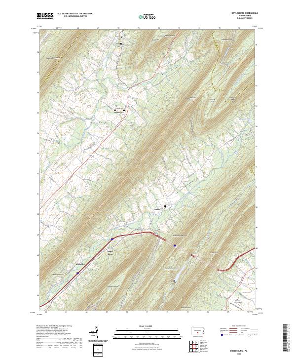
2023 Map of Mason and Dixon
USGS Topo · Published 2023About this map
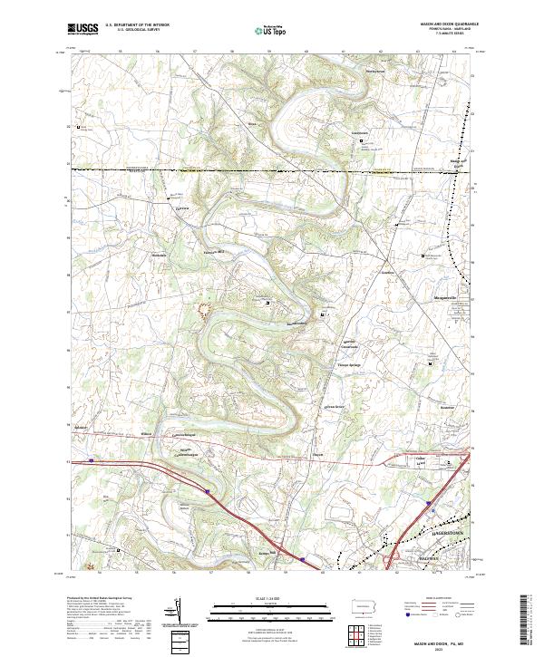
Conococheague Creek snakes through this borderland landscape, defining the topography between Franklin County, Pennsylvania, and Washington County, Maryland. The map illustrates a dense network of historic crossroads and small settlements, such as Coseytown, Nova, and the appropriately named Mason and Dixon. The area is characterized by its agricultural heritage and numerous religious sites, evidenced by the high density of country graveyards like Mount Tabor Graveyard and Mount Zion Graveyard.
Find a feature on this map
132 named features on this map. Tap any name to fly to it.
Don’t see what you’re looking for? This feature index may not catch every label — zoom into the map to look around manually.
Map Details
Editions of this 2023 Mason and Dixon Map
This is the sole edition of this map. No revisions or reprints were ever made.
Historical Maps of Antrim Township Through Time
15 maps found

1944 Mc Connellsburg
Franklin County, PA
1944 St Thomas
Franklin County, PA
1944 Williamson
Franklin County, PA
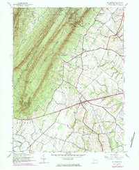
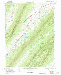
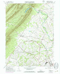
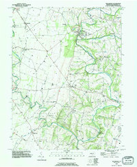
1966 Doylesburg
Franklin County, PA
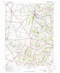
1966 Fannettsburg
Franklin County, PA
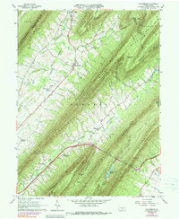
1966 Roxbury
Franklin County, PA

1990 Mc Connellsburg
Franklin County, PA

1990 St Thomas
Franklin County, PA
1990 Williamson
Franklin County, PA
2023 Doylesburg
Franklin County, PA
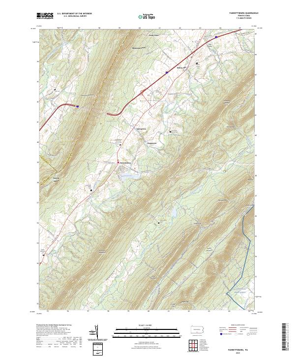
2023 Fannettsburg
Franklin County, PA
2023 Mason and Dixon
Franklin County, PA
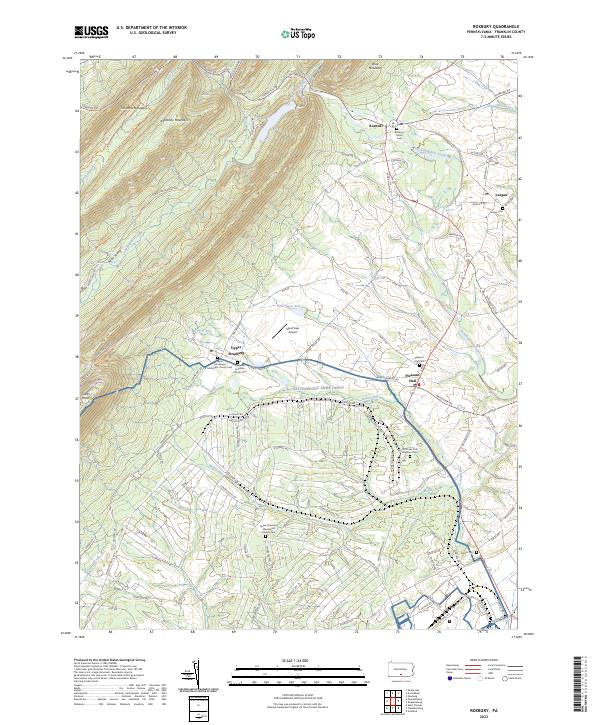
2023 Roxbury
Franklin County, PA
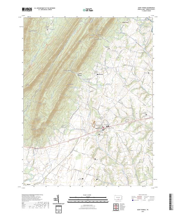
2023 Saint Thomas
Franklin County, PA
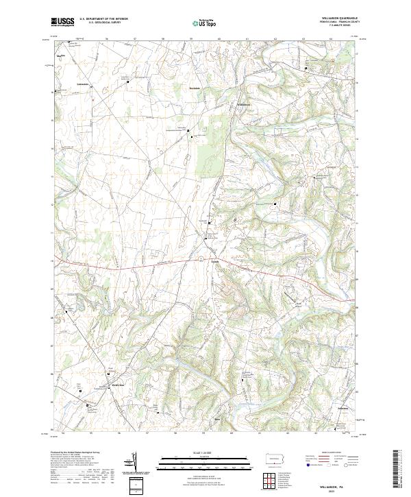
2023 Williamson
Franklin County, PA