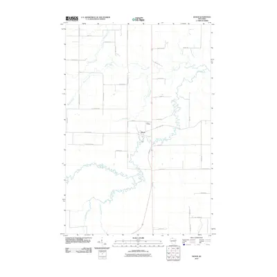
2010 Map of Mason
USGS Topo · Published 2010About this map
The White River winds through the heart of this Bayfield County landscape, its tight meanders carving a path past the village of Mason. This northern Wisconsin terrain is defined by a dense network of tributaries, including Long Lake Branch, Twentymile Creek, and Eighteenmile Creek, which drain the surrounding countryside. The settlement pattern is characterized by long-established family farm roads such as Olaf Johnson Rd, Bill Anderson Rd, and Kostello Rd, reflecting the agricultural and logging heritage of the region. North of the village center, the Mason Cemetery stands near Spring Creek, while the broader area is crisscrossed by thoroughfares like County Hwy-E and Bibon Rd. The map illustrates a rural community where the hydrography of creeks like Schramm Creek and South Fish Creek continues to shape the local geography and road layout.
Find a feature on this map
40 named features on this map. Tap any name to fly to it.
Don’t see what you’re looking for? This feature index may not catch every label — zoom into the map to look around manually.
Map Details
Editions of this 2010 Mason Map
This is the sole edition of this map. No revisions or reprints were ever made.
Other maps of this area

1942 · Ashland
USGS Topo · 1:48,000

1942 · Marengo
USGS Topo · 1:48,000

1944 · Moquah
USGS Topo · 1:48,000

1944 · Grandview
USGS Topo · 1:48,000

1945 · Marengo
USGS Topo · 1:48,000

1947 · Moquah
USGS Topo · 1:48,000

1947 · Ashland
USGS Topo · 1:48,000

1947 · Grandview
USGS Topo · 1:48,000

1953 · Ashland
USGS Topo · 1:250,000

1958 · Ashland
USGS Topo · 1:250,000