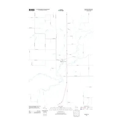
2013 Map of Mason
USGS Topo · Published 2013About this map
The village of Mason serves as the focal point of this 2013 survey, situated where the meandering White River meets the transportation corridor of Us-63. The landscape is defined by an intricate network of waterways, including Spring Creek, Schramm Creek, and South Fish Creek, which cut through the northern Wisconsin timberlands. A grid of rural roads named for local families and settlers, such as Olaf Johnson Road, Bill Anderson Road, and Sundin Road, reveals the persistent agricultural and residential patterns of Bayfield County. In the southern portion of the map, the terrain becomes increasingly dictated by the drainages of Twentymile Creek and Eighteenmile Creek, illustrating the transition toward the more remote forest reaches of the region.
Find a feature on this map
45 named features on this map. Tap any name to fly to it.
Don’t see what you’re looking for? This feature index may not catch every label — zoom into the map to look around manually.
Map Details
Editions of this 2013 Mason Map
This is the sole edition of this map. No revisions or reprints were ever made.
Other maps of this area

1942 · Ashland
USGS Topo · 1:48,000

1942 · Marengo
USGS Topo · 1:48,000

1944 · Moquah
USGS Topo · 1:48,000

1944 · Grandview
USGS Topo · 1:48,000

1945 · Marengo
USGS Topo · 1:48,000

1947 · Moquah
USGS Topo · 1:48,000

1947 · Ashland
USGS Topo · 1:48,000

1947 · Grandview
USGS Topo · 1:48,000

1953 · Ashland
USGS Topo · 1:250,000

1958 · Ashland
USGS Topo · 1:250,000