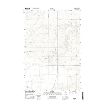
2015 Map of Mason
USGS Topo · Published 2015About this map
The settlement of Mason serves as the focal point for this survey of southern Bayfield County, positioned where several regional corridors meet near the White River. The landscape is defined by an intricate network of waterways, including the broad Bibon Marsh and the winding paths of Twentymile Cr and Eighteenmile Cr. These drainage patterns reflect the glacial legacy of northern Wisconsin, where numerous small tributaries like Spring Cr and Schramm Creek feed into larger river systems. A dense network of rural roads, many bearing family names such as Adolph Johnson Rd and Bernie Hecimowich Rd, provides a detailed record of local land ownership and the historical footprint of the logging and farming families who settled the area. The presence of the Mason Cem north of the village center further grounds this map for genealogical research in the Town of Mason.
Find a feature on this map
51 named features on this map. Tap any name to fly to it.
Don’t see what you’re looking for? This feature index may not catch every label — zoom into the map to look around manually.
Map Details
Editions of this 2015 Mason Map
This is the sole edition of this map. No revisions or reprints were ever made.
Other maps of this area

1942 · Ashland
USGS Topo · 1:48,000

1942 · Marengo
USGS Topo · 1:48,000

1944 · Moquah
USGS Topo · 1:48,000

1944 · Grandview
USGS Topo · 1:48,000

1945 · Marengo
USGS Topo · 1:48,000

1947 · Moquah
USGS Topo · 1:48,000

1947 · Ashland
USGS Topo · 1:48,000

1947 · Grandview
USGS Topo · 1:48,000

1953 · Ashland
USGS Topo · 1:250,000

1958 · Ashland
USGS Topo · 1:250,000