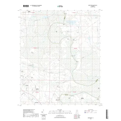
2018 Map of Mason Bend
USGS Topo · Published 2018About this map
Forkland and the surrounding river bends of the Black Warrior River define this landscape on the border of Greene and Hale counties. The region is characterized by extensive wetlands and oxbow formations, including the sprawling Dollarhide Swamp and Mason Swamp. Several distinct "Quarters" such as Walden Quarters, Jackson Quarters, and Gilmore Quarters suggest the historical agricultural partitions of the area.
Find a feature on this map
87 named features on this map. Tap any name to fly to it.
Don’t see what you’re looking for? This feature index may not catch every label — zoom into the map to look around manually.
Map Details
Editions of this 2018 Mason Bend Map
This is the sole edition of this map. No revisions or reprints were ever made.
Other maps of this area

1927 · Eutaw
USGS Topo · 1:48,000

1931 · Eutaw
USGS Topo · 1:62,500

1946 · Demopolis
USGS Topo · 1:24,000

1947 · Demopolis
USGS Topo · 1:24,000

1947 · Mason Bend
USGS Topo · 1:24,000

1947 · Forkland
USGS Topo · 1:24,000

1948 · Mason Bend
USGS Topo · 1:24,000

1948 · Mc Dowell
USGS Topo · 1:24,000

1949 · Mc Dowell
USGS Topo · 1:24,000

1949 · Forkland
USGS Topo · 1:24,000