2021 Map of Mason City
USGS Topo · Published 2021About this map
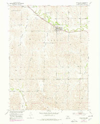
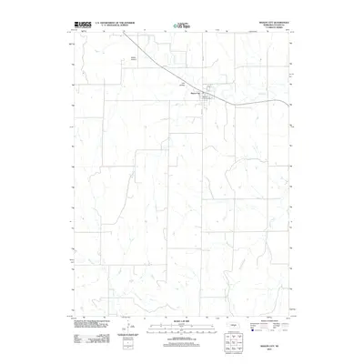
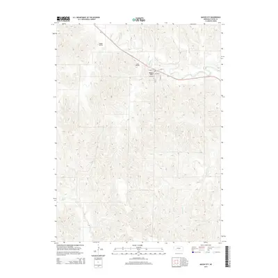
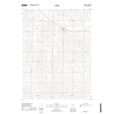
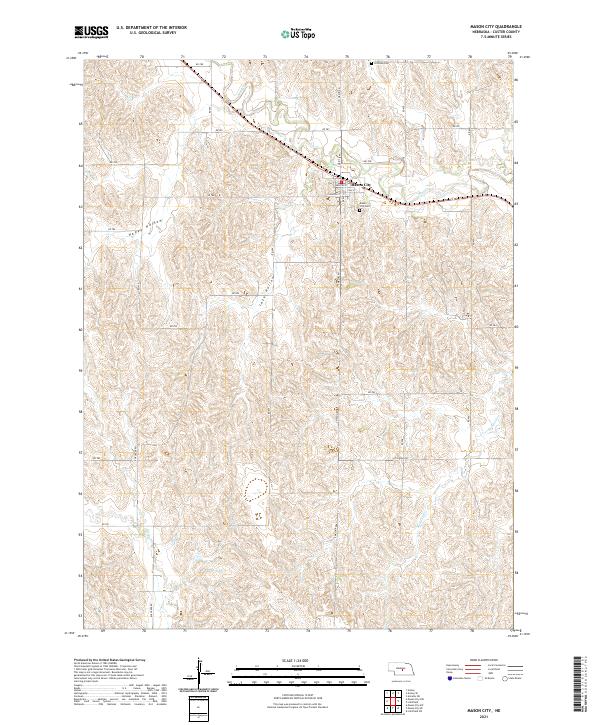
Mason City serves as the central hub of this Custer County landscape, situated where the drainages of Mud Cr meet a network of local roads. The town's grid is clearly defined by streets such as Main St, Webster St, and Calhoun St, reflecting its established role in the region. To the north and south of the settlement, Coffman Cem and the Mason City Cem offer significant points of interest for genealogists and local historians tracing family lineages in this part of Nebraska.
Find a feature on this map
39 named features on this map. Tap any name to fly to it.
Don’t see what you’re looking for? This feature index may not catch every label — zoom into the map to look around manually.
Map Details
Editions of this 2021 Mason City Map
This is the sole edition of this map. No revisions or reprints were ever made.
Historical Maps of Mason City Through Time
5 maps found