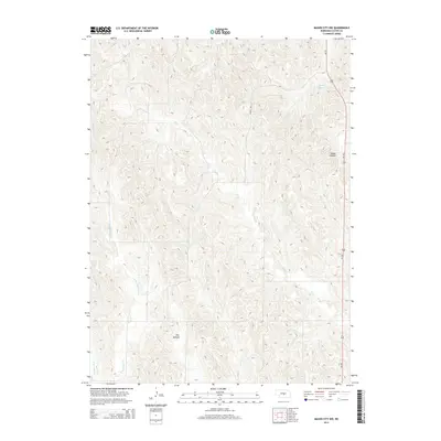
2014 Map of Mason City NW
USGS Topo · Published 2014About this map
The rolling drainage basins of Custer County are defined by a complex network of seasonal and perennial streams in this early 21st-century study. Much of the topography is shaped by the eastern and western branches of Box Elder Creek, including E Box Elder Cr and W Box Elder Cr, which carve through the Nebraska landscape. To the northeast, the presence of Knapp Reservoir suggests the importance of water management for local agriculture and livestock. The map captures distinctive local terrain naming conventions, with areas designated as Happy Hollow and the expansive Flat Bottom. Transport is anchored by the corridor of Us-183, which runs along the eastern edge, connecting rural Custer County to the wider region. Other significant waterways like Elk Cr and Cat Cr further illustrate the intricate watershed that defines this portion of the Great Plains.
Find a feature on this map
10 named features on this map. Tap any name to fly to it.
Don’t see what you’re looking for? This feature index may not catch every label — zoom into the map to look around manually.
Map Details
Editions of this 2014 Mason City NW Map
This is the sole edition of this map. No revisions or reprints were ever made.
Other maps of this area

1951 · Ansley
USGS Topo · 1:24,000

1951 · Broken Bow SE
USGS Topo · 1:24,000

1951 · Eddyville NE
USGS Topo · 1:24,000

1951 · Mason City SW
USGS Topo · 1:24,000

1951 · Eddyville
USGS Topo · 1:24,000

1951 · Mason City NW
USGS Topo · 1:24,000

1951 · Mason City
USGS Topo · 1:24,000

1951 · Ansley SE
USGS Topo · 1:24,000

1951 · Mason City SE
USGS Topo · 1:24,000

1955 · Broken Bow
USGS Topo · 1:250,000