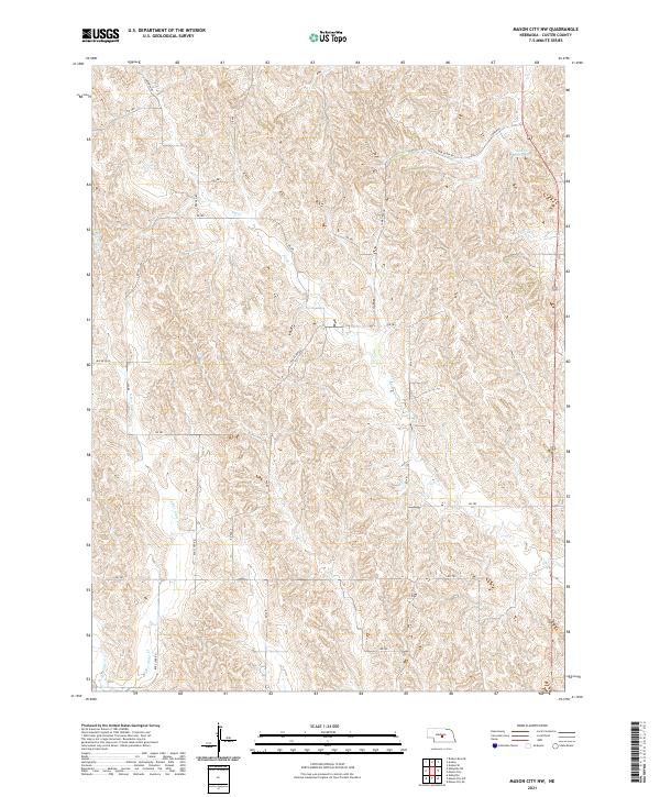
2021 Map of Mason City NW
USGS Topo · Published 2021About this map
Knapp Reservoir sits in the northeastern corner of this Custer County landscape, where the high plains are carved by a network of drainage creeks. The terrain is defined by the headwaters of Elk Cr and Cat Cr, which snake through the township sections. A grid of rural section-line roads, including Cumro Rd and Box Elder Rd, provides the primary framework for the scattered ranching and agricultural operations in the region. The drainage patterns of E Box Elder Cr and W Box Elder Cr illustrate the subtle but complex topography of the Nebraska sandhills' edge. This modern survey reflects the enduring section-line settlement pattern, where named routes like S Berwyn Rd and Buckeye Rd connect isolated homesteads across the townships.
Find a feature on this map
30 named features on this map. Tap any name to fly to it.
Don’t see what you’re looking for? This feature index may not catch every label — zoom into the map to look around manually.
Map Details
Editions of this 2021 Mason City NW Map
This is the sole edition of this map. No revisions or reprints were ever made.
Other maps of this area

1951 · Ansley
USGS Topo · 1:24,000

1951 · Broken Bow SE
USGS Topo · 1:24,000

1951 · Eddyville NE
USGS Topo · 1:24,000

1951 · Mason City SW
USGS Topo · 1:24,000

1951 · Eddyville
USGS Topo · 1:24,000

1951 · Mason City NW
USGS Topo · 1:24,000

1951 · Mason City
USGS Topo · 1:24,000

1951 · Ansley SE
USGS Topo · 1:24,000

1951 · Mason City SE
USGS Topo · 1:24,000

1955 · Broken Bow
USGS Topo · 1:250,000