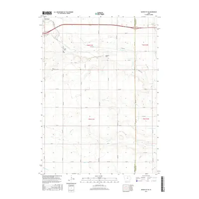
2015 Map of Mason City SE
USGS Topo · Published 2015About this map
The settlement of Portland sits at the northern edge of this Iowa landscape, where the Winnebago River snakes through the terrain near the junction of Little Gully and Big Gully. The map illustrates a highly structured rural grid defined by roads such as Ulmus Ave and Warbler Ave, punctuated by the winding paths of several waterways including Rock Creek and Rapid Creek. A notable genealogical landmark, the Owen's Grove Cem, is located south of Portland along 220th St.
Find a feature on this map
80 named features on this map. Tap any name to fly to it.
Don’t see what you’re looking for? This feature index may not catch every label — zoom into the map to look around manually.
Map Details
Editions of this 2015 Mason City SE Map
This is the sole edition of this map. No revisions or reprints were ever made.
Other maps of this area

1954 · Mason City
USGS Topo · 1:250,000

1954 · Waterloo
USGS Topo · 1:250,000

1955 · Waterloo
USGS Topo · 1:250,000

1957 · Mason City
USGS Topo · 1:250,000

1958 · Mason City
USGS Topo · 1:250,000

1959 · Mason City
USGS Topo · 1:24,000

1959 · Mason City
USGS Topo · 1:62,500

1959 · Nora Springs
USGS Topo · 1:24,000

1959 · Mason City SE
USGS Topo · 1:24,000

1959 · Hanford
USGS Topo · 1:24,000