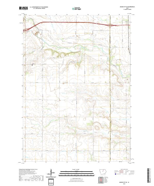
2022 Map of Mason City SE
USGS Topo · Published 2022About this map
The Winnebago River winds through the northern reaches of this landscape, carving a valley that separates the section lines of the central Iowa plains. This rural expanse southeast of Mason City is defined by an intricate drainage network where Little Lime Cr and Beaver Cr feed into the larger river system. The terrain is notably etched by features like Big Gully, Little Gully, and the curiously named Badlands Draw, suggesting localized areas of erosion within the otherwise productive agricultural grid.
Find a feature on this map
43 named features on this map. Tap any name to fly to it.
Don’t see what you’re looking for? This feature index may not catch every label — zoom into the map to look around manually.
Map Details
Editions of this 2022 Mason City SE Map
This is the sole edition of this map. No revisions or reprints were ever made.
Other maps of this area

1954 · Mason City
USGS Topo · 1:250,000

1954 · Waterloo
USGS Topo · 1:250,000

1955 · Waterloo
USGS Topo · 1:250,000

1957 · Mason City
USGS Topo · 1:250,000

1958 · Mason City
USGS Topo · 1:250,000

1959 · Mason City
USGS Topo · 1:24,000

1959 · Mason City
USGS Topo · 1:62,500

1959 · Nora Springs
USGS Topo · 1:24,000

1959 · Mason City SE
USGS Topo · 1:24,000

1959 · Hanford
USGS Topo · 1:24,000