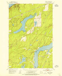
1953 Map of Mason Lake
USGS Topo · Published 1955About this map
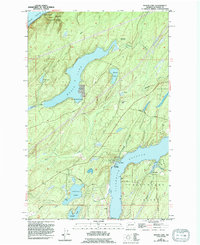
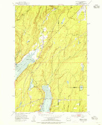
Mason Lake and its surrounding water bodies define this mid-century landscape of Mason County, where the terrestrial terrain is deeply influenced by the inlets of the Puget Sound. Along the eastern edge of the sheet, the northern tip of Hartstene Island is separated from the mainland by Pickering Passage, featuring small landings such as Walkers Landing and landmarks like Graham Pt. The presence of the Northern Pacific railroad line through the interior highlights the area's logistical importance for timber or transport, while the northern shoreline touches the Hood Canal at Twanoh State Park. Interior settlements like Little Hoquiam and Shady Beach reflect a mid-century era of seasonal recreation and local residence. Researchers can trace the early road network via Grant Ferry Road and Mason Lake Road, which connected these lakeside communities to the rail lines and nearby waterways.
Find a feature on this map
31 named features on this map. Tap any name to fly to it.
Don’t see what you’re looking for? This feature index may not catch every label — zoom into the map to look around manually.
Map Details
Editions of this 1953 Mason Lake Map
5 editions found
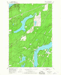
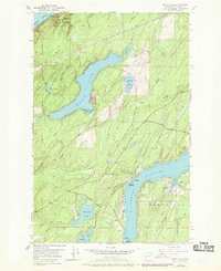
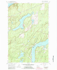
Other maps of this area

1937 · Olympia
USGS Topo · 1:62,500

1938 · Allyn
USGS Topo · 1:62,500

1939 · Shelton
USGS Topo · 1:62,500

1943 · Potlatch
USGS Topo · 1:62,500

1949 · Olympia
USGS Topo · 1:62,500

1952 · Potlatch
USGS Topo · 1:62,500

1953 · Vaughn
USGS Topo · 1:24,000

1953 · Lake Wooten
USGS Topo · 1:24,000
1953 · Belfair
USGS Topo · 1:24,000

1953 · Shelton
USGS Topo · 1:62,500