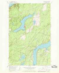
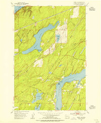
1953 Map of Mason Lake
USGS Topo · Published 1969About this map
Mason Lake serves as the central focal point of this coastal Washington survey, surrounded by a complex system of smaller water bodies and tidal passages. The map illustrates the mid-century development of the Olympic Peninsula's eastern fringe, where recreation and local industry meet at the shores of Hood Canal. Along the southern reaches of the sheet, the northern tip of Hartstene Island is separated from the mainland by the deep waters of Pickering Passage, with Walkers Landing and Sun Point marking the narrowest crossing points.
Find a feature on this map
27 named features on this map. Tap any name to fly to it.
Don’t see what you’re looking for? This feature index may not catch every label — zoom into the map to look around manually.
Map Details
Editions of this 1953 Mason Lake Map
5 editions found
Other maps of this area

1937 · Olympia
USGS Topo · 1:62,500

1938 · Allyn
USGS Topo · 1:62,500

1939 · Shelton
USGS Topo · 1:62,500

1943 · Potlatch
USGS Topo · 1:62,500

1949 · Olympia
USGS Topo · 1:62,500

1952 · Potlatch
USGS Topo · 1:62,500

1953 · Vaughn
USGS Topo · 1:24,000

1953 · Lake Wooten
USGS Topo · 1:24,000
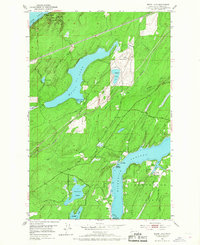
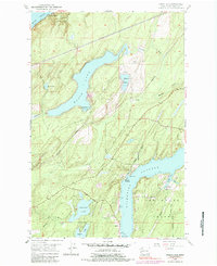
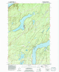
1953 · Mason Lake
USGS Topo · 1:24,000
1953 · Belfair
USGS Topo · 1:24,000