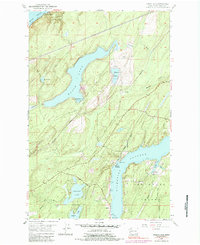
1953 Map of Mason Lake
USGS Topo · Published 1984About this map
Mason Lake dominates this coastal landscape in the mid-1950s, serving as a focal point for local settlement at Little Hoquiam and Shady Beach. Along the southeastern edge of the map, Pickering Passage separates the mainland from Hartstene Island, where the community of Hartstene and its associated Cem are situated near the shores of Jarrell Cove. The map illustrates a transition between waterfront recreation and early infrastructure, featuring the Mason Lake Lookout and the Northern Pacific Road corridor.
Find a feature on this map
31 named features on this map. Tap any name to fly to it.
Don’t see what you’re looking for? This feature index may not catch every label — zoom into the map to look around manually.
Map Details
Editions of this 1953 Mason Lake Map
5 editions found
Other maps of this area

1937 · Olympia
USGS Topo · 1:62,500

1938 · Allyn
USGS Topo · 1:62,500

1939 · Shelton
USGS Topo · 1:62,500

1943 · Potlatch
USGS Topo · 1:62,500

1949 · Olympia
USGS Topo · 1:62,500

1952 · Potlatch
USGS Topo · 1:62,500

1953 · Vaughn
USGS Topo · 1:24,000

1953 · Lake Wooten
USGS Topo · 1:24,000
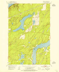
1953 · Mason Lake
USGS Topo · 1:24,000
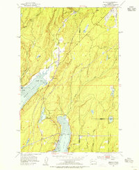
1953 · Belfair
USGS Topo · 1:24,000