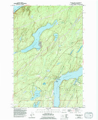
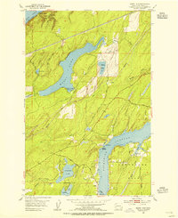
1953 Map of Mason Lake
USGS Topo · Published 1994About this map
Mason Lake and Spencer Lake dominate the freshwater landscape of this peninsula, situated between the saltwater reaches of the Hood Canal to the north and Pickering Passage to the south. The mapping reflects a region defined by its timbered slopes and recreational shoreline, where small settlements like Little Hoquiam and Shady Beach sit alongside public lands including Twanoh State Park. Local life is anchored by landmarks such as the Grapeview Sch and waterfront activity at Walkers Landing. On Hartstene Island, the community of Hartstene and Jarrell Cove State Park suggest the maritime focus of the era. The presence of a Pipeline and several gravel pits indicates the early industrial footprint within this largely woodland and lakefront setting.
Find a feature on this map
32 named features on this map. Tap any name to fly to it.
Don’t see what you’re looking for? This feature index may not catch every label — zoom into the map to look around manually.
Map Details
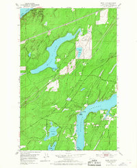
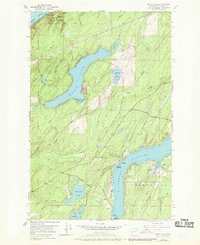
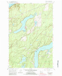
Editions of this 1953 Mason Lake Map
5 editions found
Other maps of this area

1937 · Olympia
USGS Topo · 1:62,500

1938 · Allyn
USGS Topo · 1:62,500

1939 · Shelton
USGS Topo · 1:62,500

1943 · Potlatch
USGS Topo · 1:62,500

1949 · Olympia
USGS Topo · 1:62,500

1952 · Potlatch
USGS Topo · 1:62,500

1953 · Vaughn
USGS Topo · 1:24,000

1953 · Lake Wooten
USGS Topo · 1:24,000
1953 · Mason Lake
USGS Topo · 1:24,000
1953 · Belfair
USGS Topo · 1:24,000