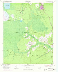
1951 Map of Masontown
USGS Topo · Published 1973About this map
Croatan National Forest dominates this coastal landscape, where the intricate hydrology of the White Oak Pocosin and Lakes Pocosin defines the local environment. Centered on the boundary of Craven and Carteret counties, the map captures a period of military and civilian infrastructure development, notably the US Government RR and the Atlantic and East Carolina RR. In the north, the growing community of Havelock is documented alongside Havelock Ch, while further south, smaller settlements like Masontown and Holly Springs sit near the headwaters of the Newport River. The presence of Nine Foot Road and Millis Road provides a look at the early thoroughfares connecting these rural outposts. Extensive canal systems, including the North Canal and South Canal, illustrate the long history of drainage efforts required to manage the wetlands near Little Lake.
Find a feature on this map
48 named features on this map. Tap any name to fly to it.
Don’t see what you’re looking for? This feature index may not catch every label — zoom into the map to look around manually.
Map Details
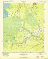
Editions of this 1951 Masontown Map

Other maps of this area

1942 · Maysville
USGS Topo · 1:62,500

1942 · Swansboro
USGS Topo · 1:62,500

1948 · Maysville
USGS Topo · 1:62,500

1948 · Swansboro
USGS Topo · 1:62,500

1949 · Havelock
USGS Topo · 1:24,000

1949 · Newport
USGS Topo · 1:24,000

1949 · Salter Path
USGS Topo · 1:24,000

1949 · Mansfield
USGS Topo · 1:24,000

1949 · Cherry Point
USGS Topo · 1:24,000

1949 · Masontown
USGS Topo · 1:24,000