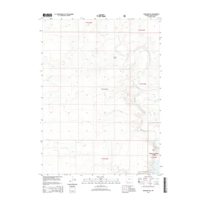
2015 Map of Massacre Hill
USGS Topo · Published 2015About this map
Ashley National Forest extends into the southeastern corner of this Sweetwater County landscape, dominated by the prominent elevation of Massacre Hill. The terrain is defined by a network of drainage systems, most notably the meandering course of Blacks Fork, which cuts across the northern and eastern sections of the quadrangle. This 2015 survey illustrates a sparsely settled region of the high desert, where water access is dictated by seasonal flows like Little Dry Cr and Big Dry Creek. The intricate contour lines reveal the complex topography of erosion-carved features such as Chicken Draw. Established section lines and township boundaries, including t17n r109w, provide a rigid grid over the undulating natural landforms of the Wyoming basin.
Find a feature on this map
12 named features on this map. Tap any name to fly to it.
Don’t see what you’re looking for? This feature index may not catch every label — zoom into the map to look around manually.
Map Details
Editions of this 2015 Massacre Hill Map
This is the sole edition of this map. No revisions or reprints were ever made.
Other maps of this area

1954 · Rock Springs
USGS Topo · 1:250,000

1957 · Mc Kinnon Junction
USGS Topo · 1:62,500

1958 · Rock Springs
USGS Topo · 1:250,000

1961 · Little America
USGS Topo · 1:24,000

1961 · Peru
USGS Topo · 1:24,000

1961 · Bryan
USGS Topo · 1:24,000

1962 · Rock Springs
USGS Topo · 1:250,000

1964 · Antelope Knoll NE
USGS Topo · 1:24,000

1964 · Winter Fat Reservoir
USGS Topo · 1:24,000

1966 · Mc Kinnon Junction
USGS Topo · 1:62,500