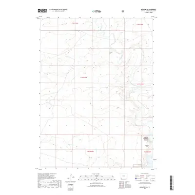
2017 Map of Massacre Hill
USGS Topo · Published 2017About this map
Massacre Hill rises within the southeastern corner of this Sweetwater County landscape, marking a topographically distinct point on the edge of the Ashley National Forest. This 2017 survey reveals the intricate drainage patterns of the high desert, where the winding course of Blacks Fork moves across the northern and eastern reaches. The terrain is further defined by erosional features such as Chicken Draw and the seasonal path of Little Dry Cr. Most of the map reflects a remote, undeveloped expanse divided into sections by the Public Land Survey System, showing the transition from open range into protected forest land. This specific era of mapping provides clear detail on the modern land use boundaries and the physical geography of the basin before any significant further human alteration.
Find a feature on this map
11 named features on this map. Tap any name to fly to it.
Don’t see what you’re looking for? This feature index may not catch every label — zoom into the map to look around manually.
Map Details
Editions of this 2017 Massacre Hill Map
This is the sole edition of this map. No revisions or reprints were ever made.
Other maps of this area

1954 · Rock Springs
USGS Topo · 1:250,000

1957 · Mc Kinnon Junction
USGS Topo · 1:62,500

1958 · Rock Springs
USGS Topo · 1:250,000

1961 · Little America
USGS Topo · 1:24,000

1961 · Peru
USGS Topo · 1:24,000

1961 · Bryan
USGS Topo · 1:24,000

1962 · Rock Springs
USGS Topo · 1:250,000

1964 · Antelope Knoll NE
USGS Topo · 1:24,000

1964 · Winter Fat Reservoir
USGS Topo · 1:24,000

1966 · Mc Kinnon Junction
USGS Topo · 1:62,500