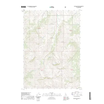
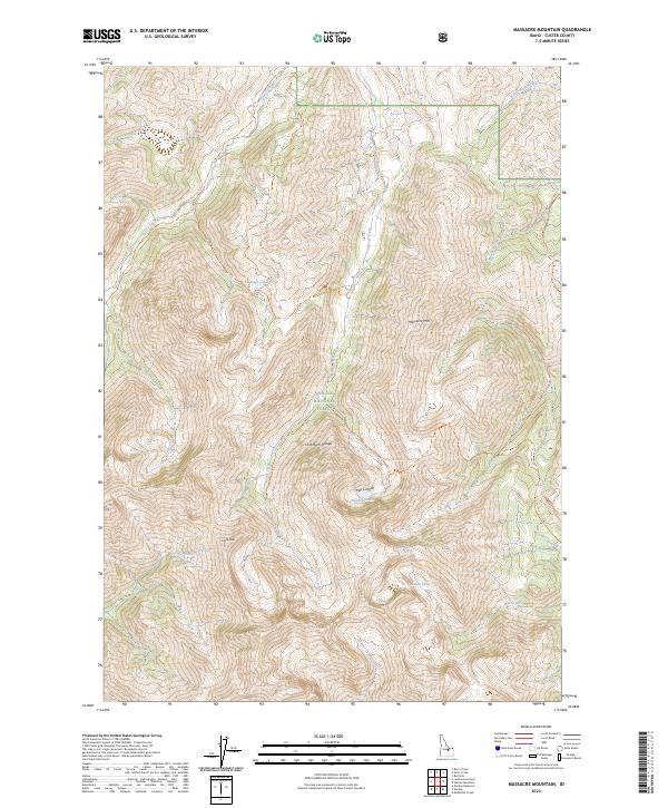
2023 Map of Massacre Mountain
USGS Topo · Published 2023About this map
Challis National Forest encompasses this high-elevation terrain in Custer County, dominated by the massive presence of the Lost River Range. The landscape is defined by its drainage systems and glacial features, with numerous trails providing access to remote alpine basins. Notable waterways such as Long Lost Creek, Dry Creek, and Wet Creek carve through the steep topography, while higher elevations hold Swauger Lakes, Shadow Lakes, and Nolan Lake. The summit of Massacre Mtn and the prominent Castle Peak serve as significant navigational landmarks for the region. A network of primitive paths, including the Long Lost-Wet Creek Trl and Dry Creek Trl, illustrates the historical and modern reliance on these corridors for traversing the demanding environment between Hell Canyon and the surrounding peaks.
Find a feature on this map
27 named features on this map. Tap any name to fly to it.
Don’t see what you’re looking for? This feature index may not catch every label — zoom into the map to look around manually.
Map Details
Editions of this 2023 Massacre Mountain Map
2 editions found
Other maps of this area

1935 · MacKay
USGS Topo · 1:96,000

1935 · Borah Peak
USGS Topo · 1:125,000

1938 · Borah Peak
USGS Topo · 1:125,000

1940 · Mackay
USGS Topo · 1:62,500

1955 · Dubois
USGS Topo · 1:250,000

1955 · Idaho Falls
USGS Topo · 1:250,000

1957 · Hawley Mountain
USGS Topo · 1:62,500

1958 · Dubois
USGS Topo · 1:250,000

1958 · Idaho Falls
USGS Topo · 1:250,000

1960 · Mackay
USGS Topo · 1:62,500