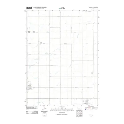
2010 Map of Massena
USGS Topo · Published 2010About this map
Massena and Cumberland anchor this southwestern Iowa landscape, showing the organized grid of Cass County at the start of the 21st century. The map reveals a deeply rooted rural community defined by its cemeteries, including Lincoln Center Cemetery and Franklin Lutheran Cemetery, which serve as quiet markers of the area's genealogical history. The drainage of the land is meticulously documented through a network of small waterways like Sevenmile Creek, Pettitts Branch, and Hoyts Branch that carve through the section-line road system.
Find a feature on this map
32 named features on this map. Tap any name to fly to it.
Don’t see what you’re looking for? This feature index may not catch every label — zoom into the map to look around manually.
Map Details
Editions of this 2010 Massena Map
This is the sole edition of this map. No revisions or reprints were ever made.
Other maps of this area

1954 · Omaha
USGS Topo · 1:250,000

1957 · Omaha
USGS Topo · 1:250,000

1958 · Omaha
USGS Topo · 1:250,000

1971 · Adair South
USGS Topo · 1:24,000

1971 · Anita
USGS Topo · 1:24,000

1971 · Wiota
USGS Topo · 1:24,000

1971 · Anita SW
USGS Topo · 1:24,000

1971 · Massena
USGS Topo · 1:24,000

1971 · Fontanelle SW
USGS Topo · 1:24,000

1980 · Grant
USGS Topo · 1:24,000