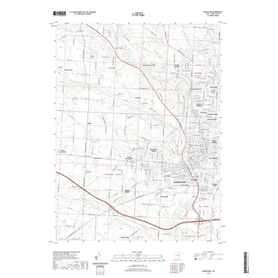
2019 Map of Massillon
USGS Topo · Published 2019About this map
The Tuscarawas River corridor defines the industrial and residential heart of Stark County, anchoring the historic city of Massillon and the northern settlement of Canal Fulton. This 2019 survey documents a landscape where traditional neighborhoods like Columbia, Lawndale, and New England meet modern suburban expansion in areas such as Amherst Heights and Greenwood Acres. The map is particularly rich for genealogical research, identifying numerous religious and community burial grounds including the Old Quaker Cem, Saint Mary Catholic Cem, and the expansive Massillon Cemetery.
Find a feature on this map
244 named features on this map. Tap any name to fly to it.
Don’t see what you’re looking for? This feature index may not catch every label — zoom into the map to look around manually.
Map Details
Editions of this 2019 Massillon Map
This is the sole edition of this map. No revisions or reprints were ever made.
Other maps of this area

1901 · Massillon
USGS Topo · 1:62,500

1901 · Canton
USGS Topo · 1:62,500

1903 · Massillon
USGS Topo · 1:62,500

1903 · Canton
USGS Topo · 1:62,500

1912 · Dover
USGS Topo · 1:62,500

1914 · Navarre
USGS Topo · 1:62,500

1944 · Navarre
USGS Topo · 1:62,500

1944 · Dover
USGS Topo · 1:62,500

1951 · Canton
USGS Topo · 1:250,000

1951 · Bolivar
USGS Topo · 1:24,000