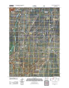
2011 Map of Masten Butte
USGS Topo · Published 2011About this map
The Little Deschutes River meanders through this high-desert landscape in Deschutes County, defining a narrow corridor of water in an otherwise arid region of Oregon. Settlement patterns here are characterized by large ranching properties and rural residential developments, with named holdings like Gilbertson Ranch and Wagon Trail Ranch punctuating the terrain. To the east, the flat expanse of Long Prairie is drained by the long fingers of Long Pine Slough, while a network of irrigation infrastructure including the Walker Basin Canal and W A Lateral reveals the human effort to manage water for agriculture. Near the small community of Beal, local roads such as Beal Rd and NFD 100 Rd intersect with larger forest service routes. The prominence of Masten Butte in the northwest provides a natural landmark overlooking the river valley and its associated ditches, like the Mayfield Ditch.
Find a feature on this map
40 named features on this map. Tap any name to fly to it.
Don’t see what you’re looking for? This feature index may not catch every label — zoom into the map to look around manually.
Map Details
Editions of this 2011 Masten Butte Map
This is the sole edition of this map. No revisions or reprints were ever made.
Other maps of this area

1930 · Maiden Peak
USGS Topo · 1:125,000

1931 · Newberry Crater
USGS Topo · 1:125,000

1934 · Maiden Peak
USGS Topo · 1:125,000

1935 · Chemult
USGS Topo · 1:96,000

1935 · Newberry Crater
USGS Topo · 1:125,000

1941 · Chemult
USGS Topo · 1:125,000

1955 · Crescent
USGS Topo · 1:250,000

1957 · Crescent
USGS Topo · 1:250,000

1958 · Crescent
USGS Topo · 1:250,000

1963 · La Pine
USGS Topo · 1:24,000