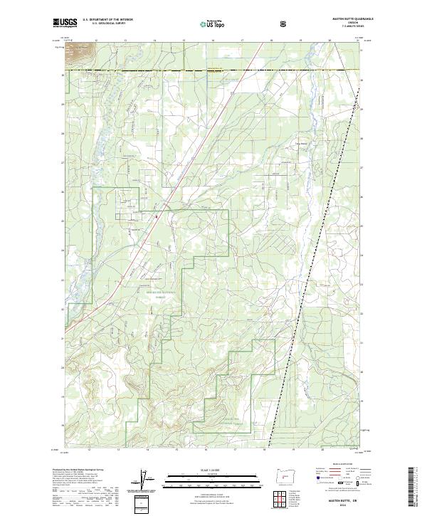
2024 Map of Masten Butte
USGS Topo · Published 2024About this map
Masten Butte rises as a prominent landmark on the high volcanic plateau where the Deschutes National Forest meets the winding course of the Little Deschutes River. This landscape is defined by the transition from forested upland into the broad, flat expanse of Long Prairie. The map documents a complex network of water management, with the Walker Basin Canal, W A Lateral, and Mayfield Ditch diverting water across the terrain to support local land use.
Find a feature on this map
53 named features on this map. Tap any name to fly to it.
Don’t see what you’re looking for? This feature index may not catch every label — zoom into the map to look around manually.
Map Details
Editions of this 2024 Masten Butte Map
This is the sole edition of this map. No revisions or reprints were ever made.
Other maps of this area

1930 · Maiden Peak
USGS Topo · 1:125,000

1931 · Newberry Crater
USGS Topo · 1:125,000

1934 · Maiden Peak
USGS Topo · 1:125,000

1935 · Chemult
USGS Topo · 1:96,000

1935 · Newberry Crater
USGS Topo · 1:125,000

1941 · Chemult
USGS Topo · 1:125,000

1955 · Crescent
USGS Topo · 1:250,000

1957 · Crescent
USGS Topo · 1:250,000

1958 · Crescent
USGS Topo · 1:250,000

1963 · La Pine
USGS Topo · 1:24,000