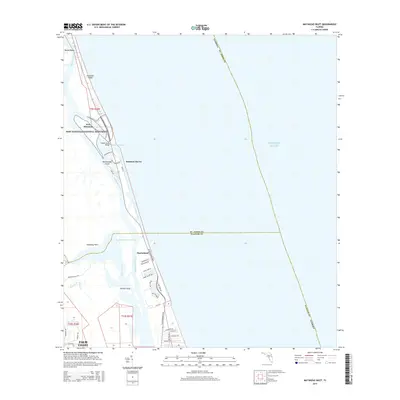
2015 Map of Matanzas Inlet
USGS Topo · Published 2015About this map
Fort Matanzas National Monument occupies a strategic position along the Atlantic coast, protecting the historic stone fortification of Fort Matanzas on Rattlesnake Island. This coastal survey highlights the intricate network of tidal waterways and barrier islands where the Matanzas River meets the Atlantic Ocean at the Matanzas Inlet. The landscape is a mix of protected federal lands and established coastal communities, connected by the Claude Varn Bridge and the scenic corridor of Old A1A.
Find a feature on this map
46 named features on this map. Tap any name to fly to it.
Don’t see what you’re looking for? This feature index may not catch every label — zoom into the map to look around manually.
Map Details
Editions of this 2015 Matanzas Inlet Map
This is the sole edition of this map. No revisions or reprints were ever made.
Other maps of this area

1927 · Matanzas
USGS Topo · 1:48,000

1937 · Crescent Beach
USGS Topo · 1:24,000

1937 · Dinner Island
USGS Topo · 1:48,000

1943 · St. Augustine
USGS Topo · 1:62,500

1943 · Dinner Island
USGS Topo · 1:62,500

1943 · Matanzas
USGS Topo · 1:62,500

1944 · Dinner Island
USGS Topo · 1:62,500

1944 · Matanzas
USGS Topo · 1:62,500

1954 · Daytona Beach
USGS Topo · 1:250,000

1956 · Dinner Island NE
USGS Topo · 1:24,000