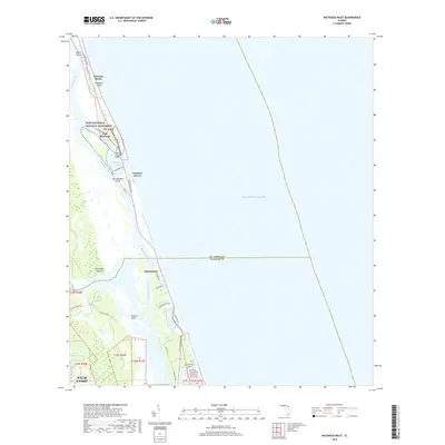
2018 Map of Matanzas Inlet
USGS Topo · Published 2018About this map
Fort Matanzas stands as a focal point of this coastal survey, situated within the Fort Matanzas National Monument where the Matanzas River meets the sea. This landscape is defined by the narrow barrier of Anastasia Island and the complex tidal environment of the Matanzas Inlet. The transition from the developed settlement of Marineland to the expansive marshes of Pellicer Flats illustrates the geographic boundary between St. Johns and Flagler counties.
Find a feature on this map
43 named features on this map. Tap any name to fly to it.
Don’t see what you’re looking for? This feature index may not catch every label — zoom into the map to look around manually.
Map Details
Editions of this 2018 Matanzas Inlet Map
This is the sole edition of this map. No revisions or reprints were ever made.
Other maps of this area

1927 · Matanzas
USGS Topo · 1:48,000

1937 · Crescent Beach
USGS Topo · 1:24,000

1937 · Dinner Island
USGS Topo · 1:48,000

1943 · St. Augustine
USGS Topo · 1:62,500

1943 · Dinner Island
USGS Topo · 1:62,500

1943 · Matanzas
USGS Topo · 1:62,500

1944 · Dinner Island
USGS Topo · 1:62,500

1944 · Matanzas
USGS Topo · 1:62,500

1954 · Daytona Beach
USGS Topo · 1:250,000

1956 · Dinner Island NE
USGS Topo · 1:24,000