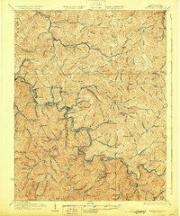
1928 Map of Matewan
USGS Topo · Published 1928About this map
The Tug Fork river carves a winding boundary between Kentucky and West Virginia, anchoring a landscape defined by the coal economy of the late 1920s. Along the river valley and its steep-walled tributaries, the Norfolk and Western RR provides the vital infrastructure for mountain settlements like Matewan and Thacker. Industrial activity is centered at the Puritan Mines and Thacker Mines, with worker housing and local life concentrated in places such as Red Jacket and Delbarton.
Find a feature on this map
148 named features on this map. Tap any name to fly to it.
Don’t see what you’re looking for? This feature index may not catch every label — zoom into the map to look around manually.
Map Details
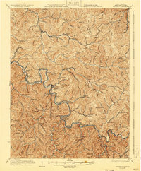
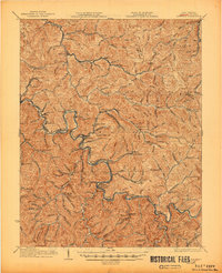
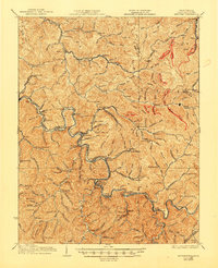
Editions of this 1928 Matewan Map
4 editions found
Other maps of this area

1886 · Grundy
USGS Topo · 1:125,000

1887 · Warfield
USGS Topo · 1:125,000

1890 · Grundy
USGS Topo · 1:125,000

1891 · Tazewell
USGS Topo · 1:125,000

1891 · Oceana
USGS Topo · 1:125,000

1891 · Warfield
USGS Topo · 1:125,000

1892 · Grundy
USGS Topo · 1:125,000

1893 · Oceana
USGS Topo · 1:125,000

1895 · Tazewell
USGS Topo · 1:125,000

1897 · Tazewell
USGS Topo · 1:125,000