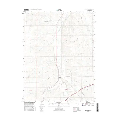
2015 Map of Matfield Green
USGS Topo · Published 2015About this map
Matfield Green serves as the quiet hub of this Flint Hills landscape, where the South Fork Cottonwood River carves a winding path through the limestone-underlain prairie. This modern survey reflects the enduring cattle-country character of the region, defined by expansive open ranges and a network of named drainages like Steak Bake Cr and Nickel Cr that feed into the larger river system. North of the settlement, the Knute Rockne Memorial Monument marks a specific point of historical interest on the hills, commemorating the site of a significant 1931 aviation event. The grid of rural roads, including Reed St and Rogler St, connects the small community to its surroundings, while the Matfield Green Cem stands as a primary resource for those researching the genealogy and early settlement history of this part of Chase County.
Find a feature on this map
29 named features on this map. Tap any name to fly to it.
Don’t see what you’re looking for? This feature index may not catch every label — zoom into the map to look around manually.
Map Details
Editions of this 2015 Matfield Green Map
This is the sole edition of this map. No revisions or reprints were ever made.
Other maps of this area

1888 · Emporia
USGS Topo · 1:125,000

1894 · Emporia
USGS Topo · 1:125,000

1898 · Cottonwood Falls
USGS Topo · 1:125,000

1955 · Hutchinson
USGS Topo · 1:250,000

1957 · Elmdale
USGS Topo · 1:24,000

1959 · Hutchinson
USGS Topo · 1:250,000
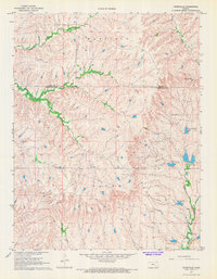
1967 · Teterville
USGS Topo · 1:24,000
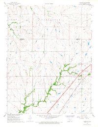
1967 · Cassoday
USGS Topo · 1:24,000
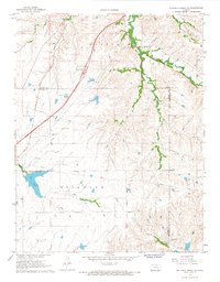
1967 · Matfield Green SE
USGS Topo · 1:24,000

1973 · Matfield Green
USGS Topo · 1:24,000