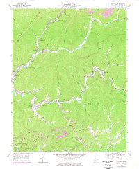
1967 Map of Matheny
USGS Topo · Published 1977About this map
Norfolk And Western rail lines snake through the narrow valleys of Wyoming County, defining the industrial and social landscape during the late 1960s. The settlement of Kopperston sits tucked beneath Huff Mountain, where the rail network supports localized coal extraction, evidenced by various Strip Mine operations and gas wells scattered across the ridges. The terrain is characterized by deep hollows like Cow Hollow and prominent gaps such as Elkins Gap, which dictate the placement of communities like Matheny and Jesse.
Find a feature on this map
72 named features on this map. Tap any name to fly to it.
Don’t see what you’re looking for? This feature index may not catch every label — zoom into the map to look around manually.
Map Details
Editions of this 1967 Matheny Map
2 editions found
Other maps of this area

1891 · Oceana
USGS Topo · 1:125,000

1891 · Raleigh
USGS Topo · 1:125,000

1893 · Oceana
USGS Topo · 1:125,000

1897 · Raleigh
USGS Topo · 1:125,000

1898 · Oceana
USGS Topo · 1:125,000

1902 · Raleigh
USGS Topo · 1:125,000

1910 · Pineville
USGS Topo · 1:48,000

1910 · Bald Knob
USGS Topo · 1:48,000

1911 · Marshes
USGS Topo · 1:48,000

1912 · Mullens
USGS Topo · 1:62,500