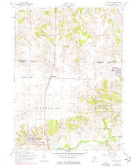
1953 Map of Matherville
USGS Topo · Published 1977About this map
Matherville and the surrounding townships of Preemption and Richland Grove appear here in a landscape defined by small-scale coal mining and agricultural settlement. The presence of the Coal Valley Mine and Gilchrist Mine indicates a legacy of resource extraction along the bluffs above the Edwards River. The map preserves the locations of numerous community hubs, from the Orangemans Hall and Center School to distinctive local landmarks like Lake Matherville. This area on the border of Rock Island and Mercer Counties is particularly well-documented for genealogists, featuring several burial sites including Farlows Grove Cemetery, Schoening Cemetery, and Friends Cemetery. Local transit is anchored by historic routes such as the Knoxville Road and Reynolds-Preemption Road, connecting the residential clusters of Sherrard and Boden.
Find a feature on this map
30 named features on this map. Tap any name to fly to it.
Don’t see what you’re looking for? This feature index may not catch every label — zoom into the map to look around manually.
Map Details
Editions of this 1953 Matherville Map
2 editions found
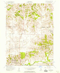
Other maps of this area

1912 · Milan
USGS Topo · 1:62,500

1923 · Alexis
USGS Topo · 1:62,500

1925 · Alexis
USGS Topo · 1:62,500

1937 · Orion
USGS Topo · 1:62,500

1944 · Milan
USGS Topo · 1:62,500

1947 · Woodhull
USGS Topo · 1:62,500
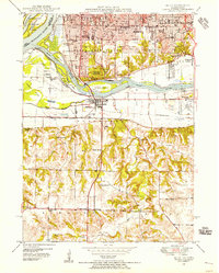
1948 · Milan
USGS Topo · 1:24,000

1949 · Coal Valley
USGS Topo · 1:24,000

1950 · Milan
USGS Topo · 1:24,000
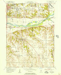
1953 · Coal Valley
USGS Topo · 1:24,000