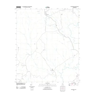
2012 Map of Matherville
USGS Topo · Published 2012About this map
Matherville and the smaller settlement of Gretna anchor this rural Mississippi landscape, which is defined by a network of creeks and active energy extraction. The terrain is dominated by the winding paths of Buckatunna Cr and Shiloh Cr, creating a complex drainage system that supported early homesteads and cemeteries. For genealogists, the map is particularly detailed, identifying numerous burial sites such as Mount Levy Cem, Scotch Chapel Cem, and Billie Field Cem, many of which are tucked away at the ends of local roads like Lige Jones Rd.
Find a feature on this map
46 named features on this map. Tap any name to fly to it.
Don’t see what you’re looking for? This feature index may not catch every label — zoom into the map to look around manually.
Map Details
Editions of this 2012 Matherville Map
This is the sole edition of this map. No revisions or reprints were ever made.
Other maps of this area

1953 · Hattiesburg
USGS Topo · 1:250,000

1958 · Hattiesburg
USGS Topo · 1:250,000

1964 · Carmichael
USGS Topo · 1:24,000

1964 · Denham
USGS Topo · 1:24,000

1964 · De Soto
USGS Topo · 1:24,000

1964 · Waynesboro
USGS Topo · 1:24,000

1964 · Shubuta
USGS Topo · 1:24,000

1964 · Matherville
USGS Topo · 1:24,000

1974 · Melvin
USGS Topo · 1:24,000

1974 · Isney
USGS Topo · 1:24,000