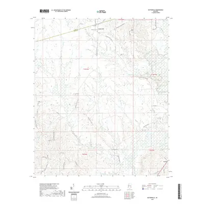
2020 Map of Matherville
USGS Topo · Published 2020About this map
Matherville and the surrounding piney woods of the Mississippi-Alabama borderlands are documented here at the intersection of Clarke and Wayne counties. The landscape is defined by a dense network of watercourses including Buckatunna Creek and Coldwater Cr, which carve through the terrain along with numerous small branches like Sand Br and Stevens Br. The map reveals a high density of rural burial sites, such as Mount Levy Cem and Billie Field Cem, many associated with long-standing community hubs like Scotch Chapel. Local transportation follows historical alignments, including the Waynesboro Matherville Rd and Tokio Frost Bridge Rd, connecting scattered family settlements and hunting camps. To the southeast, the small community of Gretna sits along the rail corridor, serving as a secondary focal point for the region's agricultural and timber-based economy.
Find a feature on this map
55 named features on this map. Tap any name to fly to it.
Don’t see what you’re looking for? This feature index may not catch every label — zoom into the map to look around manually.
Map Details
Editions of this 2020 Matherville Map
This is the sole edition of this map. No revisions or reprints were ever made.
Other maps of this area

1953 · Hattiesburg
USGS Topo · 1:250,000

1958 · Hattiesburg
USGS Topo · 1:250,000

1964 · Carmichael
USGS Topo · 1:24,000

1964 · Denham
USGS Topo · 1:24,000

1964 · De Soto
USGS Topo · 1:24,000

1964 · Waynesboro
USGS Topo · 1:24,000

1964 · Shubuta
USGS Topo · 1:24,000

1964 · Matherville
USGS Topo · 1:24,000

1974 · Melvin
USGS Topo · 1:24,000

1974 · Isney
USGS Topo · 1:24,000