
2016 Map of Mathews
USGS Topo · Published 2016About this map
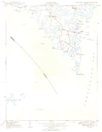
The complex shoreline of the Chesapeake Bay and the East River defines this portion of Mathews County, where low-lying necks and points have shaped local life for generations. Small settlements like Bohannon, Hallieford, and Cricket Hill are connected by a dense network of country roads, reflecting a landscape where land and water are inextricably linked. The map is particularly rich for genealogical research, documenting numerous family burial sites such as the Hurst-Ward Burial Ground and the Knight Burial Ground, alongside prominent landmarks like Poplar Grove and the Hamburg School.
Find a feature on this map
213 named features on this map. Tap any name to fly to it.
Don’t see what you’re looking for? This feature index may not catch every label — zoom into the map to look around manually.
Map Details
Editions of this 2016 Mathews Map
This is the sole edition of this map. No revisions or reprints were ever made.
Other maps of this area
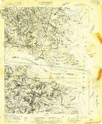
1916 · Kilmarnock
USGS Topo · 1:48,000
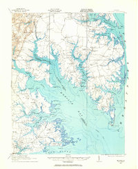
1916 · Mathews
USGS Topo · 1:62,500
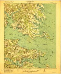
1917 · Kilmarnock
USGS Topo · 1:62,500
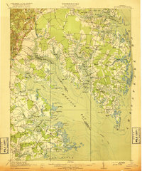
1917 · Mathews
USGS Topo · 1:62,500
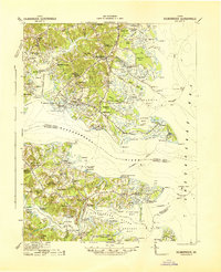
1942 · Kilmarnock
USGS Topo · 1:62,500

1943 · Richmond
USGS Topo · 1:250,000
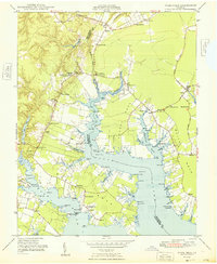
1948 · Ware Neck
USGS Topo · 1:24,000
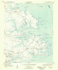
1948 · Achilles
USGS Topo · 1:24,000
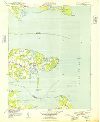
1948 · Deltaville
USGS Topo · 1:24,000
1948 · New Point Comfort
USGS Topo · 1:24,000