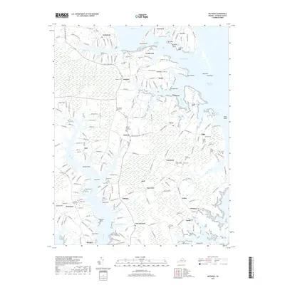
2019 Map of Mathews
USGS Topo · Published 2019About this map
Mathews stands as the central hub of this coastal landscape, situated near the head of Put-in Creek. The surrounding territory is defined by an intricate network of necks and points, including Lilleys Neck, Cow Neck, and Whites Neck, which reach into the tidal waters of Milford Haven and the East River. This 2019 survey reveals a deeply rooted community structure, evidenced by numerous family and church burial sites such as the Knight Burial Ground, John Forrest Grave, and Poplar Grove Cem.
Find a feature on this map
217 named features on this map. Tap any name to fly to it.
Don’t see what you’re looking for? This feature index may not catch every label — zoom into the map to look around manually.
Map Details
Editions of this 2019 Mathews Map
This is the sole edition of this map. No revisions or reprints were ever made.
Other maps of this area

1916 · Kilmarnock
USGS Topo · 1:48,000

1916 · Mathews
USGS Topo · 1:62,500

1917 · Kilmarnock
USGS Topo · 1:62,500

1917 · Mathews
USGS Topo · 1:62,500

1942 · Kilmarnock
USGS Topo · 1:62,500

1943 · Richmond
USGS Topo · 1:250,000

1948 · Ware Neck
USGS Topo · 1:24,000

1948 · Achilles
USGS Topo · 1:24,000

1948 · Deltaville
USGS Topo · 1:24,000

1948 · New Point Comfort
USGS Topo · 1:24,000