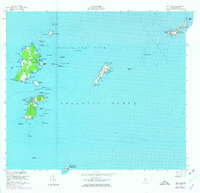
1953 Map of Matinicus
USGS Topo · Published 1974About this map
Matinicus Island and its surrounding archipelago anchor this mid-century survey of Maine's outermost inhabited lands. The primary settlement of Matinicus is detailed alongside its smaller neighbor, Criehaven on Ragged Island, which both maintain a distinct maritime character through features like Criehaven Harbor and Matinicus Roads. The map documents a landscape defined by seafaring necessity and coastal survival, showing numerous landmarks such as the Light on Matinicus Rock and the U S Coast Guard Reservation to the south.
Find a feature on this map
87 named features on this map. Tap any name to fly to it.
Don’t see what you’re looking for? This feature index may not catch every label — zoom into the map to look around manually.
Map Details
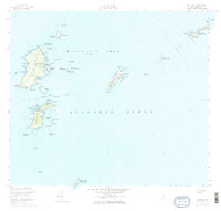
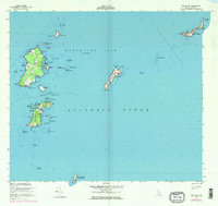
Editions of this 1953 Matinicus Map
4 editions found
Other maps of this area

1906 · Matinicus
USGS Topo · 1:62,500

1948 · Bath
USGS Topo · 1:250,000
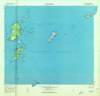
1953 · Matinicus
USGS Topo · 1:24,000

1956 · Bath
USGS Topo · 1:250,000

1957 · Bath
USGS Topo · 1:250,000

1958 · Bath
USGS Topo · 1:250,000

1963 · Bath
USGS Topo · 1:250,000
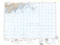
1965 · Bath
USGS Topo · 1:250,000
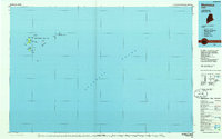
1985 · Matinicus
USGS Topo · 1:100,000
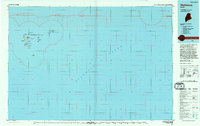
1994 · Matinicus
USGS Topo · 1:100,000
Featured Places
- Vinalhaven, ME
- Matinicus Isle Plantation, ME
- Matinicus Isle, Matinicus Isle Plantation
- Criehaven Township, ME
- Knox County, ME