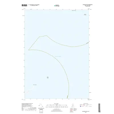
2018 Map of Matinicus OE NE
USGS Topo · Published 2018About this map
Submerged hazards and navigation landmarks define this maritime survey off the coast of Maine. The map focuses almost entirely on the open waters of the Atlantic Ocean within Knox County, charting significant underwater features that have long challenged local mariners. Among these notable formations are Western Ear Ledge and Roaring Bull Ledge in the northern reaches, while Three Fathom Ledge marks a critical shallow point in the central waters. To the southwest, Eastern Ledge rises from the seafloor, providing a crucial reference point for coastal transit and fishing operations. This modern topographic study emphasizes the invisible geography of the sea, documenting the specific ledges and shoals that dictate the maritime patterns of the region.
Find a feature on this map
6 named features on this map. Tap any name to fly to it.
Don’t see what you’re looking for? This feature index may not catch every label — zoom into the map to look around manually.
Map Details
Editions of this 2018 Matinicus OE NE Map
This is the sole edition of this map. No revisions or reprints were ever made.
Other maps of this area

1904 · Deer Isle
USGS Topo · 1:62,500

1904 · Vinalhaven
USGS Topo · 1:62,500

1905 · Penobscot Bay
USGS Topo · 1:125,000

1906 · Matinicus
USGS Topo · 1:62,500

1941 · Vinalhaven
USGS Topo · 1:62,500

1942 · Deer Isle
USGS Topo · 1:62,500

1944 · Vinalhaven
USGS Topo · 1:62,500

1944 · Deer Isle
USGS Topo · 1:62,500

1948 · Bangor
USGS Topo · 1:250,000

1948 · Bath
USGS Topo · 1:250,000