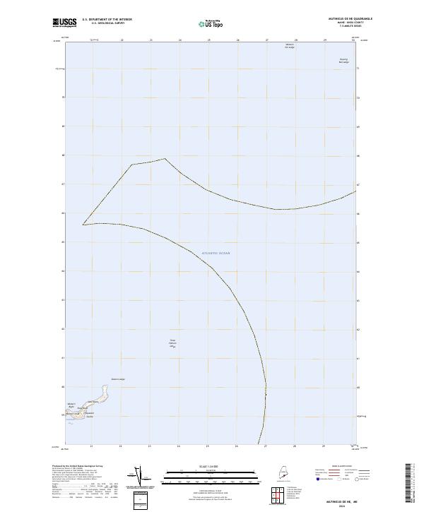
2024 Map of Matinicus OE NE
USGS Topo · Published 2024About this map
Seal Island National Wildlife Refuge occupies a remote position in the Atlantic Ocean off the Maine coast, centered on the singular landmass of Seal Island. This survey reveals a landscape defined by treacherous maritime hazards and specialized coastal nomenclature. The island is flanked by distinctive geological features such as Western Head and Shag Roost, while the surrounding waters are punctuated by dangerous submerged features like Three Fathom Ledge, Roaring Bull Ledge, and Western Ear Ledge. The presence of labels such as Squeaker Guzzle and Western Bight reflects the unique coastal vernacular used by local mariners and wildlife observers in this isolated marine environment. As a protected refuge, the island serves as a critical sanctuary, with its shoreline and surrounding ledges meticulously documented to aid navigation in the often-foggy reaches of the Maine archipelago.
Find a feature on this map
12 named features on this map. Tap any name to fly to it.
Don’t see what you’re looking for? This feature index may not catch every label — zoom into the map to look around manually.
Map Details
Editions of this 2024 Matinicus OE NE Map
This is the sole edition of this map. No revisions or reprints were ever made.
Other maps of this area

1904 · Deer Isle
USGS Topo · 1:62,500

1904 · Vinalhaven
USGS Topo · 1:62,500

1905 · Penobscot Bay
USGS Topo · 1:125,000

1906 · Matinicus
USGS Topo · 1:62,500

1941 · Vinalhaven
USGS Topo · 1:62,500

1942 · Deer Isle
USGS Topo · 1:62,500

1944 · Vinalhaven
USGS Topo · 1:62,500

1944 · Deer Isle
USGS Topo · 1:62,500

1948 · Bangor
USGS Topo · 1:250,000

1948 · Bath
USGS Topo · 1:250,000