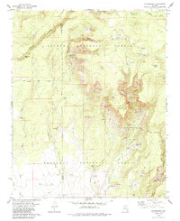
1979 Map of Matterhorn
USGS Topo · Published 1986About this map
Matterhorn rises as a prominent landmark in this high-desert landscape, situated along the boundary between Kaibab National Forest and Prescott National Forest. The 1970s terrain is defined by a sophisticated network of water management features essential for ranching and forest operations, including Winter Camp Tank, Stage Tank, and Rock House Tank. These man-made improvements are scattered across notable landforms like Wild Steer Mesa and the expansive Wagon Tire Flat.
Find a feature on this map
40 named features on this map. Tap any name to fly to it.
Don’t see what you’re looking for? This feature index may not catch every label — zoom into the map to look around manually.
Map Details
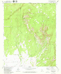
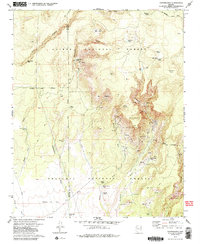
Editions of this 1979 Matterhorn Map
3 editions found
Other maps of this area

1886 · Chino
USGS Topo · 1:250,000

1887 · Prescott
USGS Topo · 1:250,000

1891 · Chino
USGS Topo · 1:250,000

1892 · Prescott
USGS Topo · 1:250,000

1905 · Jerome
USGS Topo · 1:125,000

1922 · Williams
USGS Topo · 1:125,000

1944 · Clarkdale
USGS Topo · 1:48,000

1947 · Ash Fork
USGS Topo · 1:62,500

1947 · Paulden
USGS Topo · 1:62,500

1948 · Ash Fork
USGS Topo · 1:63,360