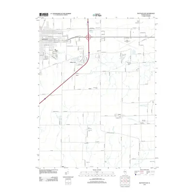
2012 Map of Mattoon East
USGS Topo · Published 2012About this map
Coles County farmland and the eastern residential expansion of Mattoon define this early 21st-century landscape. The map details a transition from the urban grid of streets like Broadway Ave and Lafayette Ave to the smaller outlying settlements of Rolling Green, Jones, and Lerna. For genealogists, the survey is particularly useful for its density of burial grounds, including family and community sites like Montgomery Cem, Upper Muddy Cem, and Old Indian Creek Cem.
Find a feature on this map
137 named features on this map. Tap any name to fly to it.
Don’t see what you’re looking for? This feature index may not catch every label — zoom into the map to look around manually.
Map Details
Editions of this 2012 Mattoon East Map
This is the sole edition of this map. No revisions or reprints were ever made.
Other maps of this area

1933 · Toledo
USGS Topo · 1:62,500

1934 · Mattoon
USGS Topo · 1:62,500

1935 · Arcola
USGS Topo · 1:48,000

1936 · Oakland
USGS Topo · 1:48,000

1937 · Mattoon
USGS Topo · 1:62,500

1938 · Toledo
USGS Topo · 1:62,500

1940 · Arcola
USGS Topo · 1:62,500

1942 · Oakland
USGS Topo · 1:62,500

1958 · Decatur
USGS Topo · 1:250,000

1961 · Decatur
USGS Topo · 1:250,000