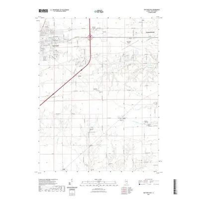
2021 Map of Mattoon East
USGS Topo · Published 2021About this map
The prairie landscape between Mattoon and Charleston is defined by a dense network of country cemeteries and meandering creek forks. For genealogists, the map is a significant record of early burial grounds, including the Old Indian Presbyterian Church Cem and Pleasant Prairie Indian Cem in the eastern section, alongside family and community sites like Montgomery Cem and Armstrong Cem. The terrain is drained by the multiple branches of Kickapoo Cr and Muddy Cr, which dictate the placement of small rural junctions. Small settlements like Lerna and Trilla anchor the southern agricultural lands, while the northern corridor is shaped by the expansion of the Coles County Memorial Airport and suburban development near Lake Windermere.
Find a feature on this map
87 named features on this map. Tap any name to fly to it.
Don’t see what you’re looking for? This feature index may not catch every label — zoom into the map to look around manually.
Map Details
Editions of this 2021 Mattoon East Map
This is the sole edition of this map. No revisions or reprints were ever made.
Other maps of this area

1933 · Toledo
USGS Topo · 1:62,500

1934 · Mattoon
USGS Topo · 1:62,500

1935 · Arcola
USGS Topo · 1:48,000

1936 · Oakland
USGS Topo · 1:48,000

1937 · Mattoon
USGS Topo · 1:62,500

1938 · Toledo
USGS Topo · 1:62,500

1940 · Arcola
USGS Topo · 1:62,500

1942 · Oakland
USGS Topo · 1:62,500

1958 · Decatur
USGS Topo · 1:250,000

1961 · Decatur
USGS Topo · 1:250,000